Tell your friends about this item:
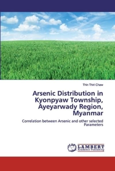
Arsenic Distribution in Kyonpyaw Township, Ayeyarwady Region, Myanmar Thin Thiri Chaw
Ordered from remote warehouse
 Christmas presents can be returned until 31 January

Our customers say:


Arsenic Distribution in Kyonpyaw Township, Ayeyarwady Region, Myanmar
Thin Thiri Chaw
The study area is covered by Holocene Alluvium, comprising of sand, fine gravel and clay of blue, yellow and yellowish gray color. Three water bearing layers occurred maximum depth being 450 ft at Mankyar (Ywama) village. Generally, the depth of tube wells in study area is about 100 ft. According to the grain size distribution graph of aquifer sand samples, optimum screen opening size is 1.2 mm with proposed gravel pack design. A total of 19301 water sources have been tested for arsenic contamination under the water quality monitoring program (2005), of which 9347 sources (48.43%) are arsenic free, while 3023 (15.66%) are ranging from 1 to 10 ppb, 4539 (23.52%) from 11 to 50 ppb and 2392 (12.39%) of above 50 ppb, i.e of hazard level of WHO. The highest contaminated water sources are shallow tube wells (15.32%). Piper classification shows Ca-Mg-Na-K-SO4-HCO3-Cl are major groundwater type. The aquifer depth and arsenic content is the strongest negative correlation between other pairs with correlation coefficient being -0.445. Arsenic content is mainly related with dissolved organic carbon, and NH4 in groundwater with correlation coefficient of 0.630, 0.496 and 0.759 respectively.
| Media | Books Paperback Book (Book with soft cover and glued back) |
| Released | October 28, 2019 |
| ISBN13 | 9786200439086 |
| Publishers | LAP Lambert Academic Publishing |
| Pages | 76 |
| Dimensions | 152 × 229 × 5 mm · 131 g |
| Language | English |